
courtesy of mountainbikesf.com
Road
HEADLANDS LOOP The 12-mile loop starts at the corner of Spring Street and Bridgeway in Sausalito, climbs Conzelman Road and descends with Pacific Ocean views and through the Headlands, either back up the hill on McCullough Road or through the Bunker Road Tunnel. (Sausalito)
HERO LOOP This 15-mile loop starts at the Depot in Mill Valley, heads down Miller Avenue and up Montford/Molina/ Edgewood/Sequoia Valley to Four Corners, makes a steep descent to Muir Woods and continues to Muir Beach, followed by a hero climb up Highway 1 past Green Gulch Farm. Then go left on Almonte Boulevard, which becomes Miller Avenue on the way back to the Depot. (Mill Valley)
NICASIO/POINT REYES Starting in downtown Fairfax, a 38-mile ride grinds up White’s Hill, turns right at the San Geronimo Golf Course, and continues on Nicasio Valley Road to Rancho Nicasio and then to the Point Reyes–Petaluma Road. At Point Reyes Station, head back to Fairfax on Sir Francis Drake Boulevard. (Fairfax)
PARADISE LOOP The 18-mile route starts in Mill Valley, at the corner of Camino Alto and East Blithedale. Head south over the freeway on East Blithedale, which becomes Tiburon Boulevard, and continue around the peninsula; turn left at Trestle Glen to rejoin Tiburon Boulevard and head back to the start. (Mill Valley)
Family
BLACKIE’S PASTURE TO DOWNTOWN TIBURON A true lollipop loop, this 5-mile flat path includes bay views, a park with a swing set and possible leopard shark sightings in Richardson Bay. As a bonus, lollipops can be found at the Candy Store on Main Street. (Tiburon)
TENNESSEE VALLEY Take the kids on a 4-mile round-trip ride; the gravel path starts at the Tennessee Valley trailhead and winds up at Tennessee Beach. The ride back to the car can be a bit of an uphill trek. (Mill Valley)
CROSS MARIN TRAIL AT SAMUEL P. TAYLOR PARK This nearly level, mostly shaded, 3-mile (one way) paved trail starts at the Samuel P. Taylor Park entrance. The route follows the Northern Pacific Coast Railroad through the park from end to end. A perfect family bike cruise in West Marin. (Lagunitas)
BEAR VALLEY TRAIL AT POINT REYES NATIONAL SEASHORE A 3.2-mile round trip from the Bear Valley trailhead that follows a wide and mostly flat fire trail meandering out to Divide Meadow. (Olema)
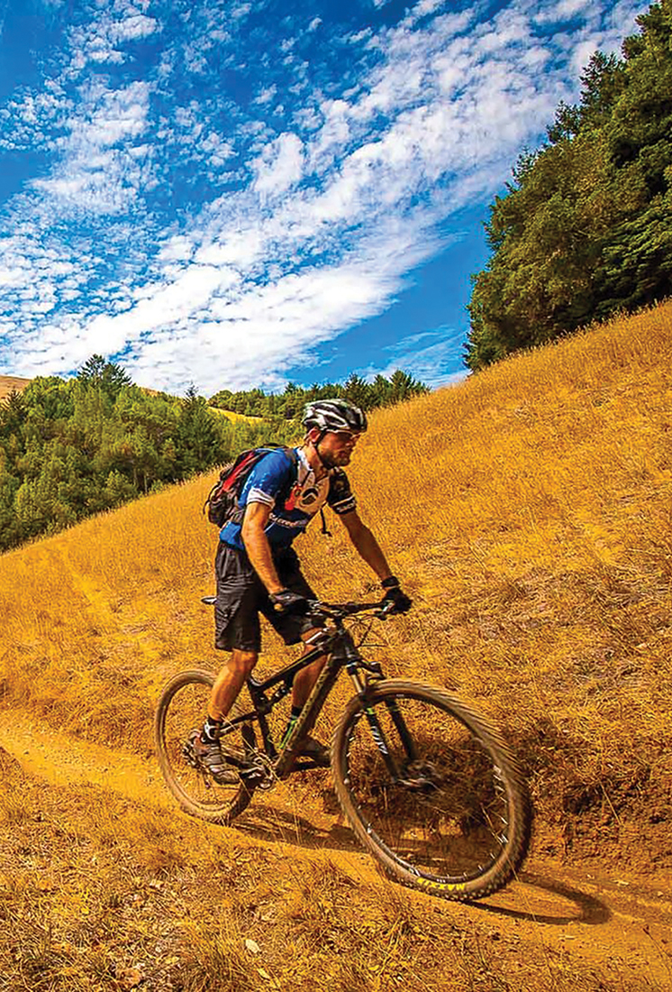
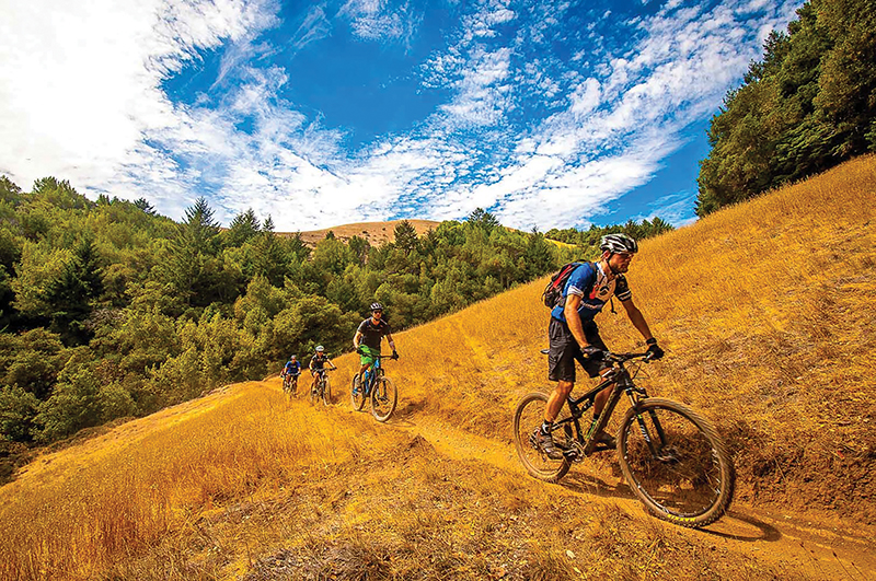
Mountain
OLD RAILROAD GRADE Follow the very trail where the sport is rumored to have been created. Start at the trailhead at West Blithedale and wind the 12.5 miles to the top. It should take about two hours to get up and 30 minutes to get back down. Railroad Grade can be crowded on weekends, but you can’t beat the views. (Mill Valley)
MARINCELLO, BOBCAT TO MIWOK, OLD SPRINGS ROAD Start this 9.5-mile ride at the Tennessee Valley parking lot and head up the Marincello Trail, noting the long-abandoned residential sidewalks alongside. At the top of the hill, turn left for a fast descent and sweeping views of the Pacific that extend to San Francisco; afterward, loop back to Miwok Trail, ending at Miwok Stables. (Mill Valley)
CAMP TAMARANCHO LOOP The 6.1-mile single-track mountain biking loop starts at the Alchemist Trail by way of Iron Springs Road. Note: you must ride to this trailhead from downtown Fairfax, as there is no parking at the entry point to Camp Tamarancho. Pay $5 at Sunshine Bikes for a pass. (Fairfax)
CHINA CAMP STATE PARK LOOP This is a great after-work 8.6-mile loop on a combination of fire trail and single-track, with 180-degree views of the bay. Start at the China Camp campground (there is a fee to park in the park) and take the Bay View Trail up a short climb. Follow signs to Oak Ridge trail along rocky single-track to the rolling Shoreline Trail. (San Rafael)
